Philippines restricts excursions to Mayon: what to check before booking a trip
Tourist routes at Mayon Volcano have been restricted and evacuation of the six-kilometer danger zone has been urged. But distance to the crater is not the only guide: wind carries ash, and heavy rains can send water and volcanic debris flows down channels.
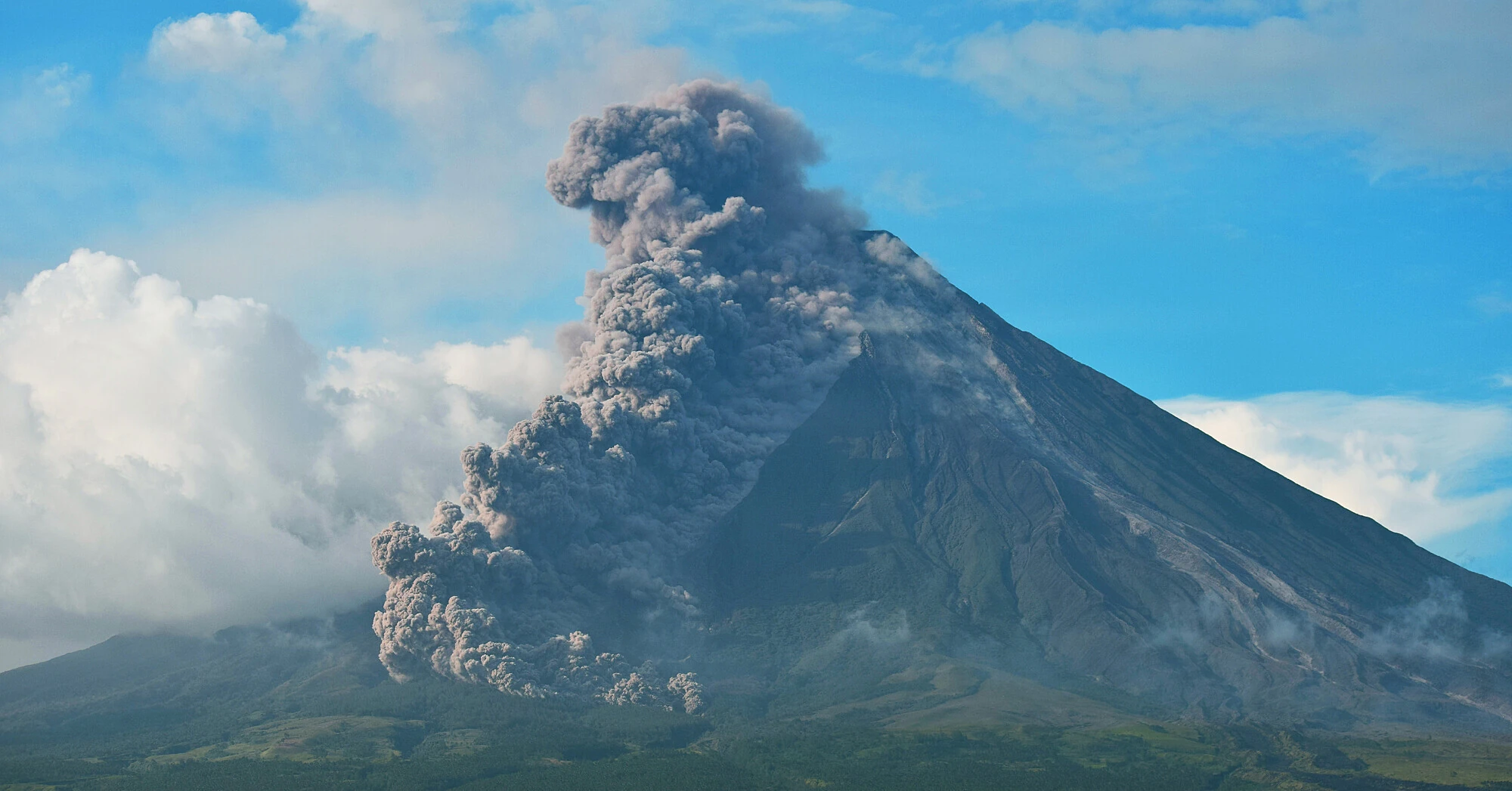
On the morning of October 31, surveillance cameras recorded a new ash emission from Mayon in the Philippine province of Albay. The column rose about 200 meters above the crater and drifted west-southwest.
The day before, a moderately explosive eruption lasted six minutes, and the ash column reached about three kilometers above the summit. After that, the Philippine Institute of Volcanology and Seismology PHIVOLCS raised the alert level from two to three. The October 31 bulletin confirmed it remains.
Rain can set volcanic deposits in motion
Among the possible threats, PHIVOLCS names lahars — mud and rock flows formed when water mixes with volcanic material. Heavy and prolonged rainfall can set such deposits in motion: flows descend along slopes and channels.
This is a separate hazard that does not necessarily accompany a new spectacular emission from the crater. Therefore, assessing the situation only by the appearance of the summit or the absence of a noticeable ash column is not possible.
For people near Mayon, the location of channels, rain warnings, and local authorities' orders matter. One should leave the dangerous area along routes specified by authorities, rather than choosing a path solely based on "farther from the crater".
Which excursions are restricted
The regional tourism office reported a ban on tourist activities within the six-kilometer permanent danger zone. The restrictions affect ATV rides, hikes, and climbs.
As reported by Radyo Pilipinas citing the agency, amateur drone flights near the volcano are also restricted. Travelers are urged to check route availability with local tourist services.
These measures apply to the area near Mayon. By themselves, they do not mean a ban on travel throughout the Philippines or closure of all attractions in the province.
Ash requires different protection
Ash distribution depends on the wind, so the six-kilometer zone boundary does not mean ashfall cannot occur beyond it. When ash falls, the tourism agency recommends staying indoors, closing windows, and using an N95 respirator if one must go outside.
At the same time, the U.S. Centers for Disease Control and Prevention — CDC warn: aerosol respirators do not filter toxic gases and vapors. Protection from ash particles does not replace evacuation and does not make being near the volcano safe.
What to check before traveling
Before an excursion, one should check whether the route passes through the closed area and whether additional local restrictions have been imposed. Before flying, check airline and airport messages: an aviation warning near the volcano is not equivalent to canceling all flights in the region.
In the reporting day, PHIVOLCS recorded 15 volcanic earthquakes and 30 rockfalls. For residents and travelers, practical guides are the current bulletin, direction of ash spread, rainfall warnings, and specific instructions from local authorities.
Archive photo: Jaycee Esmeria /Wikimedia Commons, license CC BY-SA 4.0.